Building Better
Precision drone imagery and mapping tailored for your construction needs.
Our Services
Precision drone services professionally tailored for real estate, construction, and agriculture—delivering accurate data, clear visuals, and reliable insights to support informed decision-making.
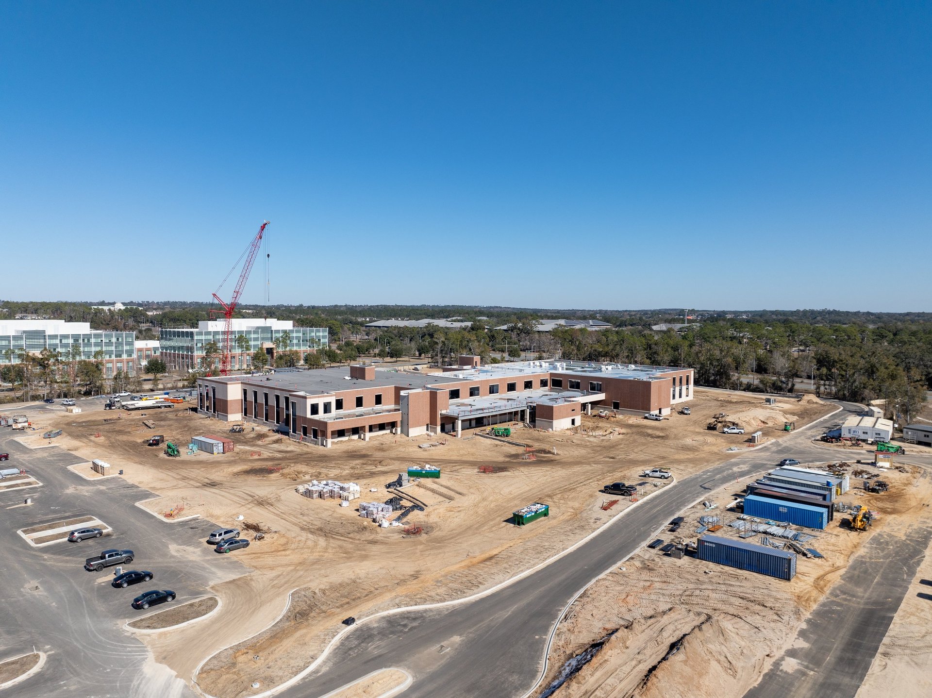
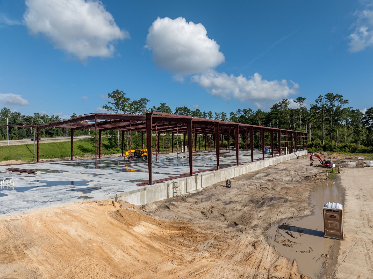
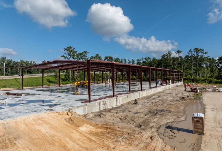
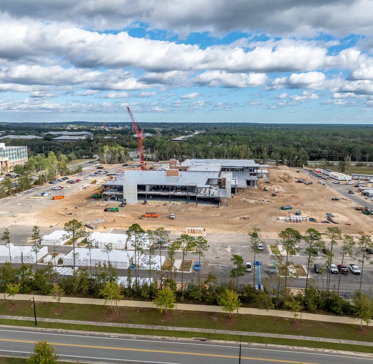
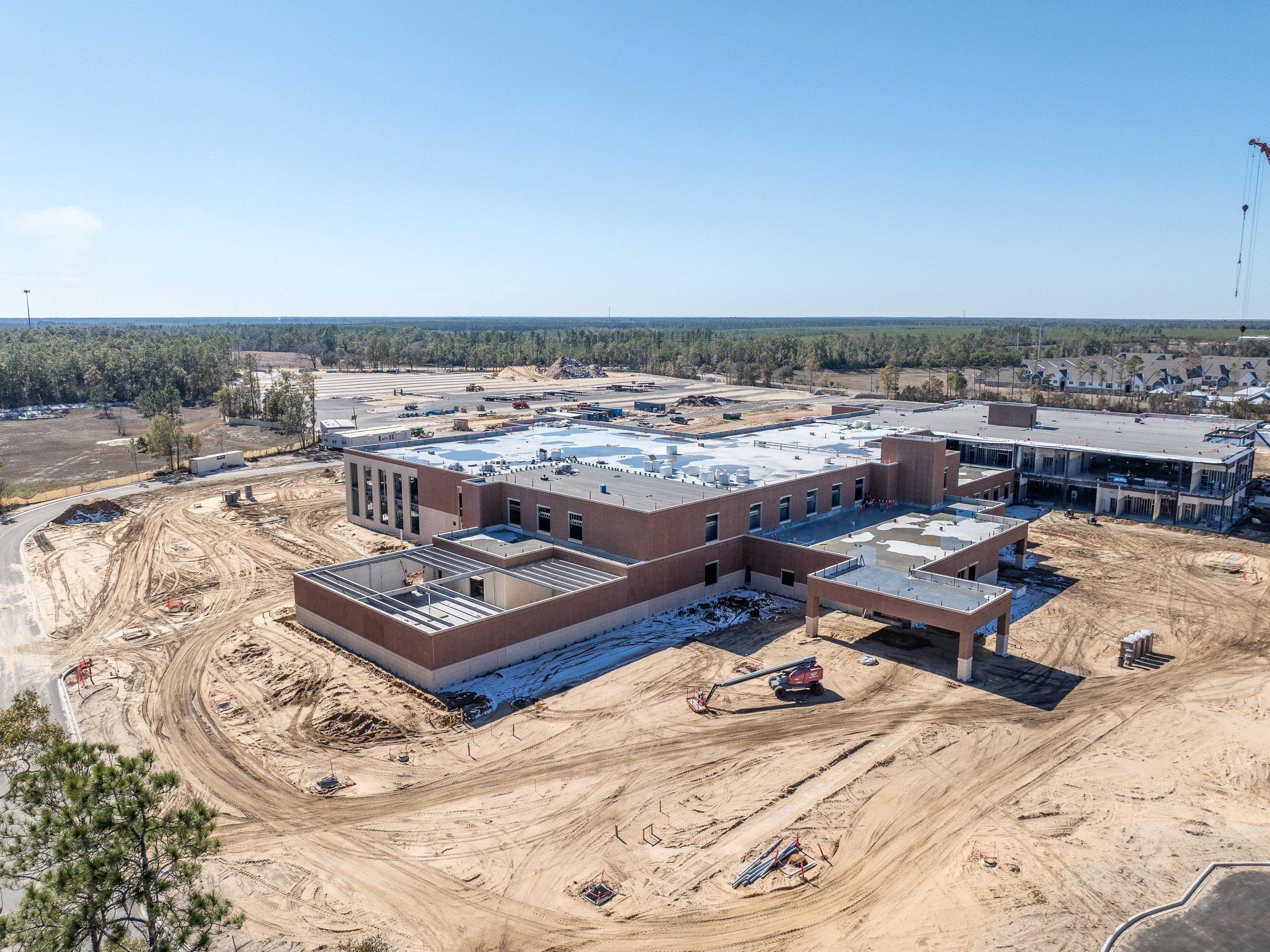
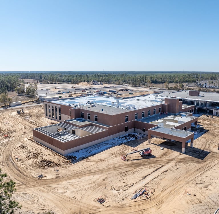
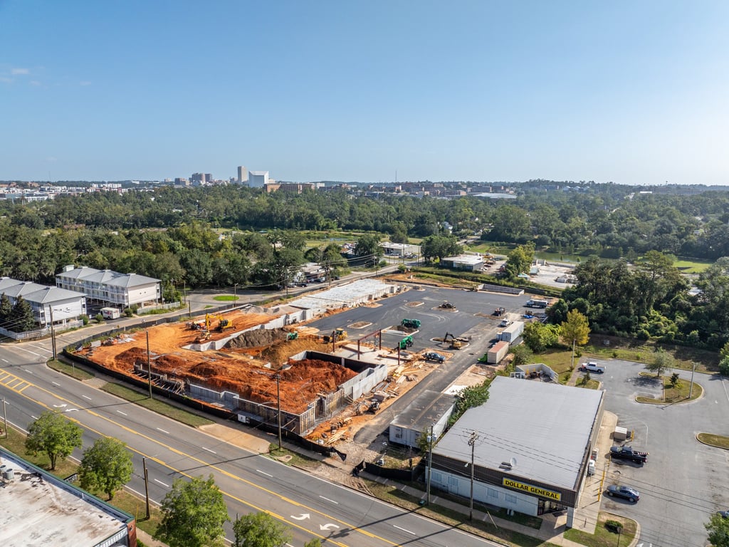
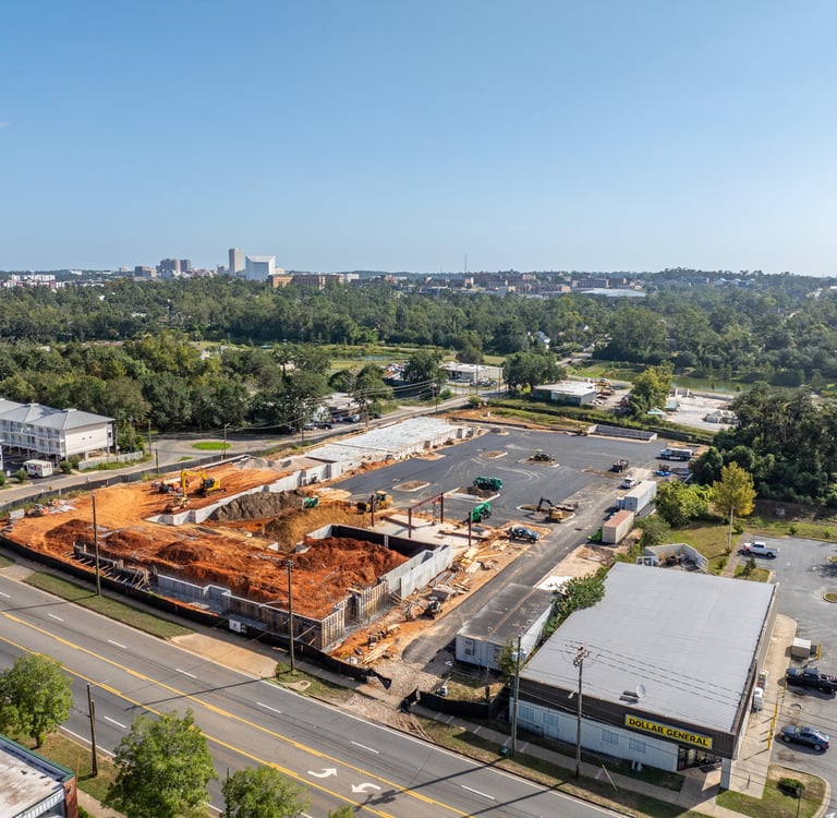
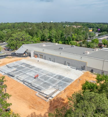
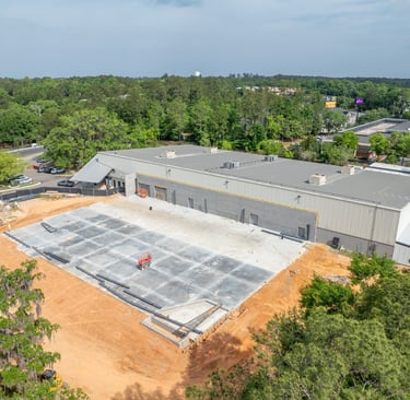
Construction
Aerial documentation and mapping for construction projects, delivering clear progress updates, site overviews, and pre-construction inspections to support planning and communication.
Agriculture
Aerial crop scouting and field inspections using drones to identify plant health issues, stand counts, and problem areas early—helping farmers make informed decisions.
High-quality aerial photos and video that showcase properties from their best angles—highlighting location, scale, and features to attract more buyers and elevate listings.
Real Estate
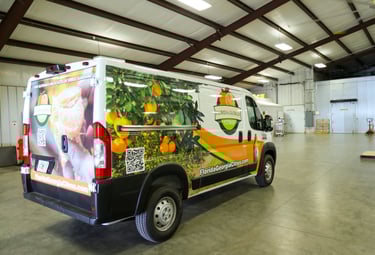
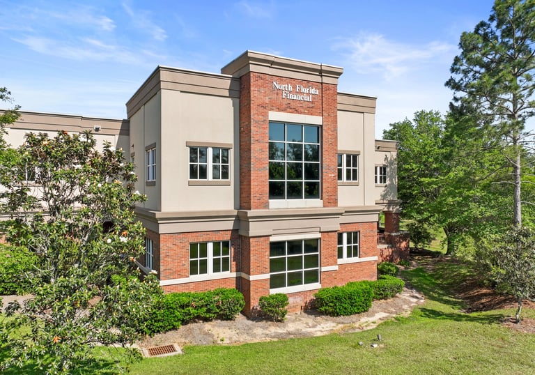
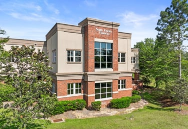
Projects
Snapshots of our work in action.
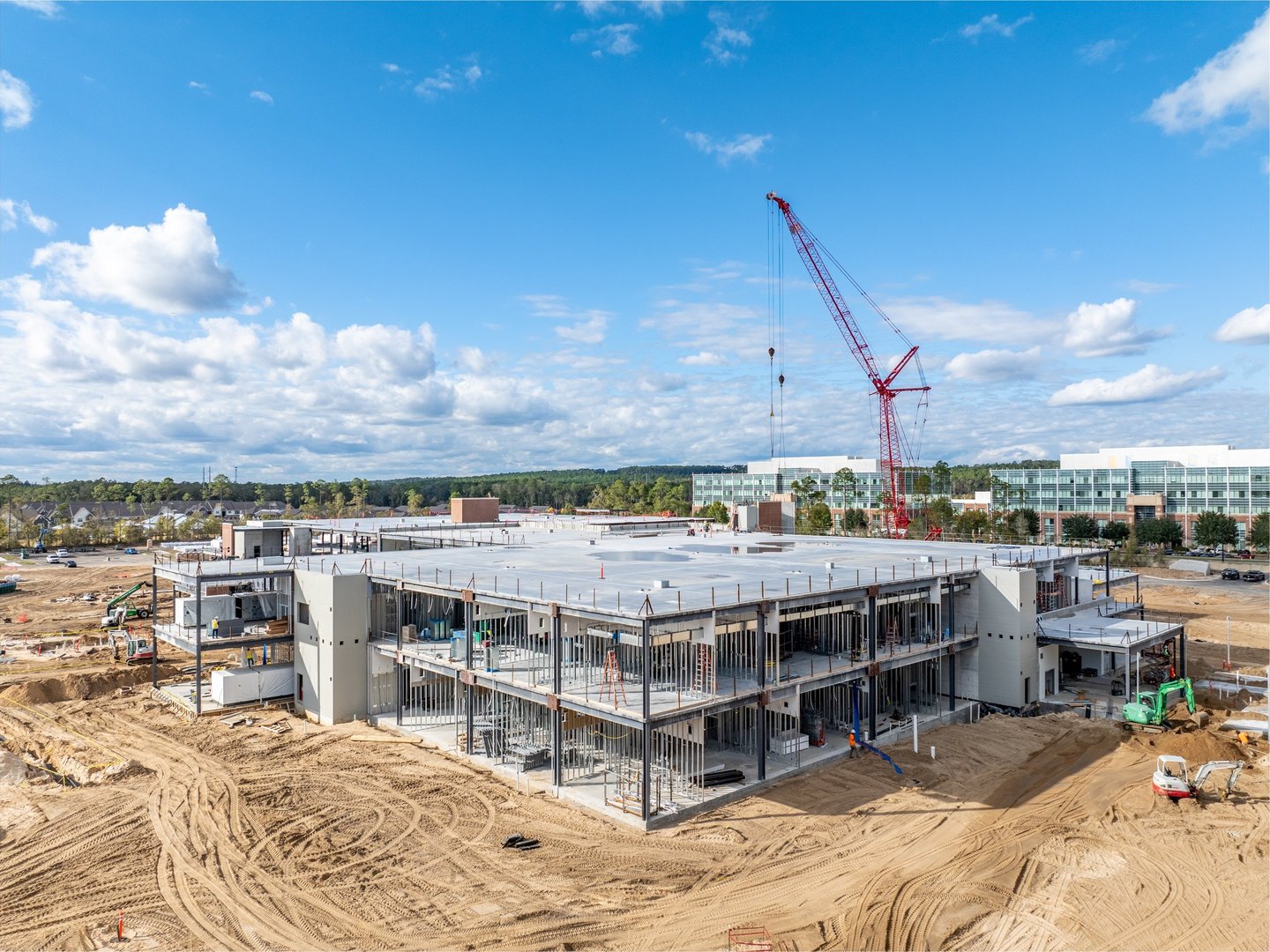
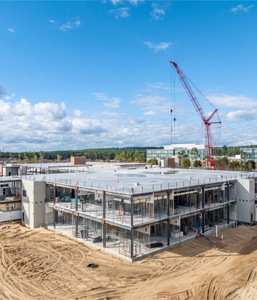
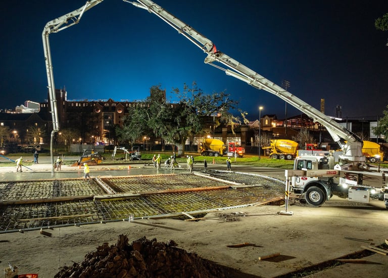
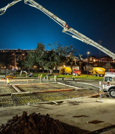
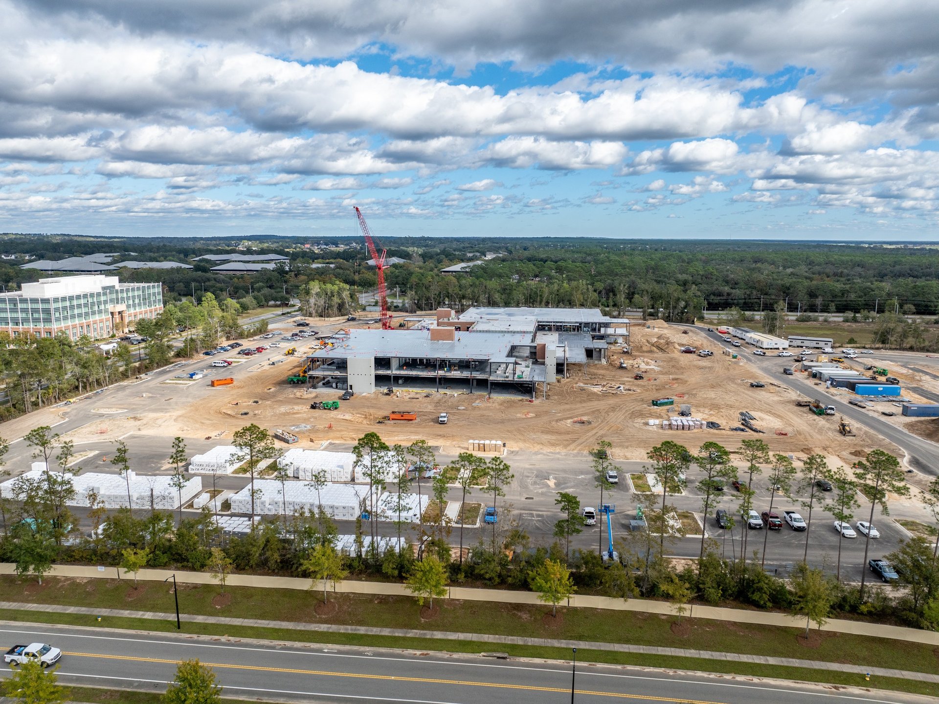
Progress Shots
Timely updates showing site development.
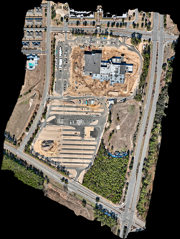
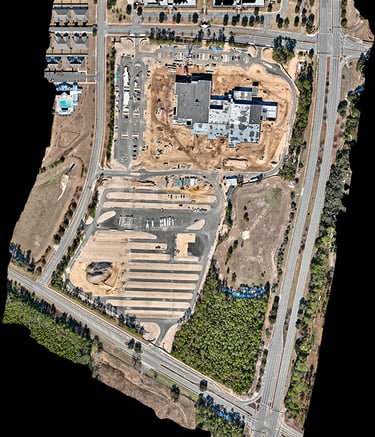
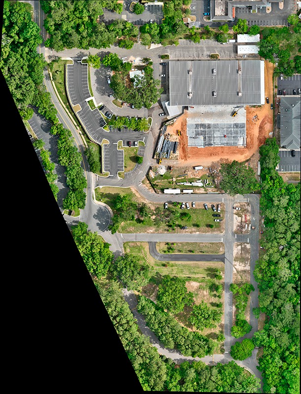
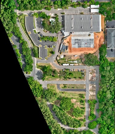
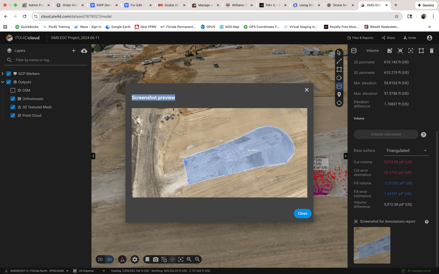
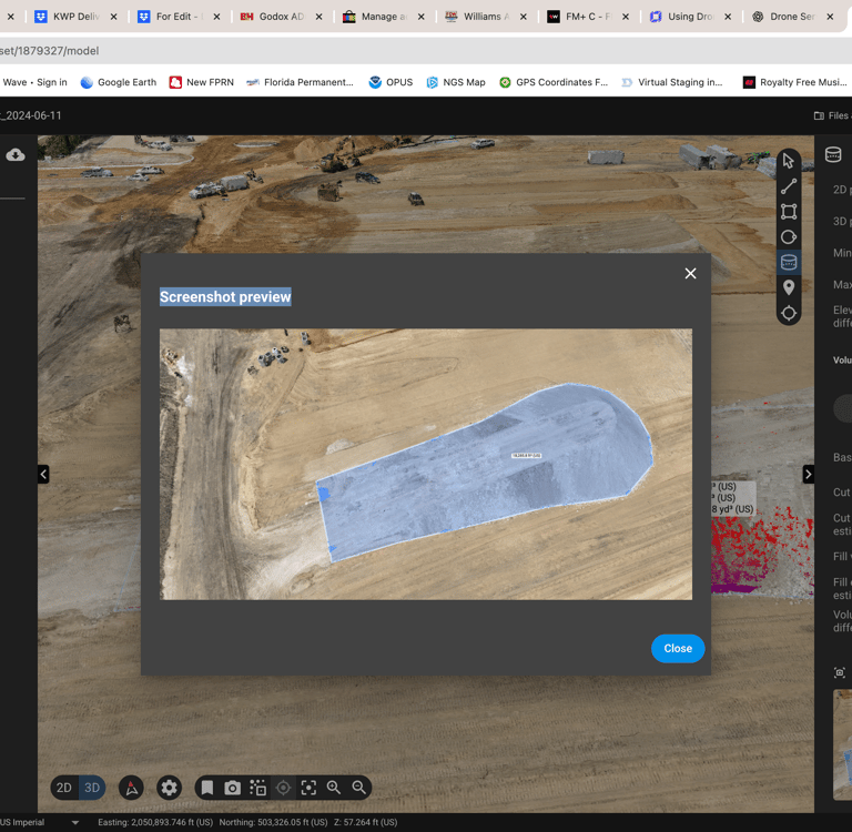
Site Maps
Accurate topography for planning.
Gallery
Snapshots capturing construction progress and site details
Get in Touch
Ready to lift your site inspections to new heights?

Contact
Reach out for tailored drone solutions.
Phone
(850) 264-6111
© 2025. All rights reserved.